| Last additions |

KCS swing bridge180 viewsWhen it was built, the 444 ft swing span was the largest in the nation.Jan 02, 2016
|
|

KCS swing bridge176 viewsThe Chicago & Alton Railroad built the original bridge in 1873, and sold it to the B&O Railroad in 1929. B&O sold it to the Gulf, Mobile, and Ohio in 1945. GM&O became Illinois Central Gulf in 1972, and then acquired by the Chicago, Missouri, and Western in 1987...which became the Gateway Western (1990), and now Kansas City Southern (2001).Jan 02, 2016
|
|

BNSF & KCS diamond, looking SE190 viewsThis view of the diamond shows the BNSF tracks heading south to the Bunge feeds elevator, while the KCS heads east over the swing bridge.Jan 02, 2016
|
|

Old swing bridge gear mechanism 189 viewsIn 2012 the KCS replaced the swing bridge gear mechanism, here are the old gears lying next to Hwy 79. Jan 02, 2016
|
|

Holcim Cement180 viewsThis plant originally started as Dundee cement in 1967. At the time it was the world's largest cement kiln, which measured 760 feet long and 25 feet in diameter and could accommodate 1.4 million tons of clinker a year. Dundee was a direct predecessor to Holnam (later to become Holcim), but the plant was closed in 2009.Jan 02, 2016
|
|

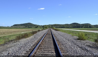
Looking South towards Annada, MO151 viewsK-line looking south. According to Clarence Cannon's history of Elsberry, when the Clarksville & Western Railway began setting out trackage south, a marker was driven in the ground every 3 miles and that was where a station was built, and then a town usually grew up around the station. Some survived, some did not, some barely hang by a thread.Jan 02, 2016
|
|

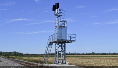
New signals for BNSF, flood tower161 viewsThese new signals were set in 2012, now a new siding has also gone in just south of Clarksville.Jan 02, 2016
|
|

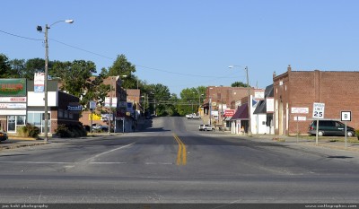
Sleepy Old Monroe236 viewsNow that Highway 79 has bypassed the town and the Mexico trackage was removed, it has all but disappearedJan 02, 2016
|
|

Mexico line241 viewsThis is all that's left of the Mexico, MO line out of Old Monroe, MO. Occasionally it is used to park equipment. Called the Francis line, it was built by the CB&Q in 1903 and abandoned in 1980. The crews called it the "high line".Jan 02, 2016
|
|

Southbound freight192 viewsSouthbound freight roars into Foley, MOJan 02, 2016
|
|

Bridge at Foley, MO199 viewsLooking south towards Foley & the route to St LouisJan 02, 2016
|
|

Main street of Elsberry, MO, looking west274 viewsView from where the CB&Q station and freight house sat.Jan 02, 2016
|
|

View from Lover's Leap219 viewsBNSF trackage parallels the riverfront here, excursion boat plys the river northbound.Jan 02, 2016
|
|

BNSF GP38-2 switches a local in Louisiana229 viewsJan 02, 2016
|
|

Louisiana, MO yard234 viewsCompare this to the photos of the yard in 1948.Jan 02, 2016
|
|
| 4917 files on 328 page(s) |
 |
 |
 |
 |
 |
35 |  |
 |
 |
 |
|