|
|
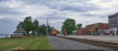
BNSF 7661 rolls through Clarksville, MO268 viewsA panoramic shot showing the proximity of the Mississippi River to downtown Clarkville, MO.
|
|
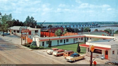
Duvall Motel in Clarksville185 viewsJust like the thousands of other Motor Hotels built in the 1950s, Duvall was a classic design and in a great location overlooking the Mississippi. It was one block above the tracks (Clarksville main street was behind the motel). The restaurant was still there the last time I went through, but I believe the motel is gone now.
|
|
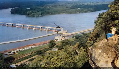
Lock & Dam 24105 viewsLock & Dam 24 in Clarksville, MO, from Lookout Point. The Skylift (chair lift) used to run up the side of the mountain, allowing tourists to see this spectacular view.
|
|
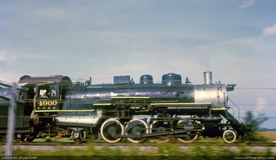
CB&Q #4960 near Clarksville mo 348 viewsMike paces the #4960 near Clarksville on this fan trip in 1962
|
|
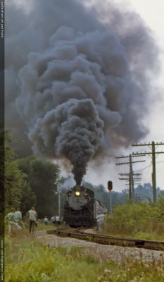
CB&Q #4960 near Clarksville MO337 viewsRailfans watch the approaching #4960 belch smoke on a September day in 1963
|
|
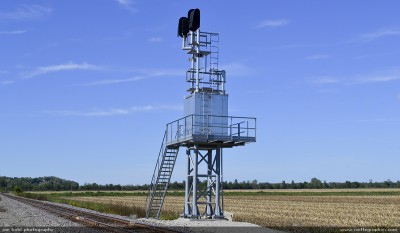
New signals for BNSF, flood tower161 viewsThese new signals were set in 2012, now a new siding has also gone in just south of Clarksville.
|
|
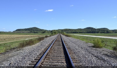
Looking South towards Annada, MO151 viewsK-line looking south. According to Clarence Cannon's history of Elsberry, when the Clarksville & Western Railway began setting out trackage south, a marker was driven in the ground every 3 miles and that was where a station was built, and then a town usually grew up around the station. Some survived, some did not, some barely hang by a thread.
|
|
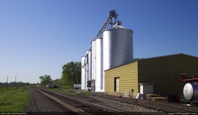
Annada grain elevator165 viewsThese shiny silos are a much later addition to the tiny village. There was a station here but it no longer exists.
|
|
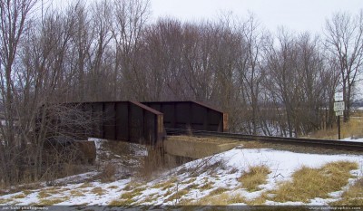
CB&Q bridge just south of Annada, MO161 viewsAnother ancient steel bridge that served the CB&Q.
|
|
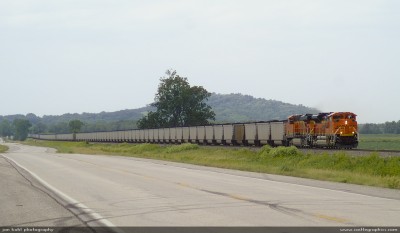
BNSF 9353 SD70ACe approaches Annada280 viewsA long string of coal bound for St. Louis tails BNSF 9353 SD70ACe.
|
|
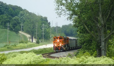
BNSF #9353 SD70ACe north Annada259 viewsRolling a coal drag south into Annada.
|
|
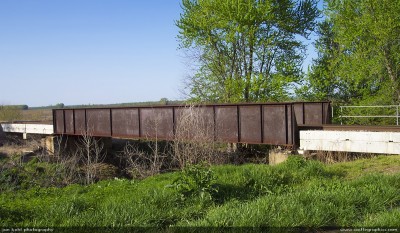
Ex-CB&Q bridge - Annada273 viewsAnother metal bridge just north of Annada, MO
|
|
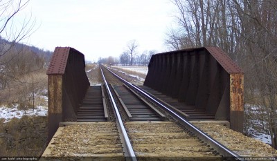
Ex-CB&Q bridge Annada276 viewsThis bridge is just to the south of Annada, MO, very close to the Pike & Lincoln county line.
|
|
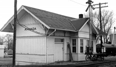
CB&Q depot in Annada533 viewsThe depot was torn down not too long after this, passenger service on the K-line stopped completely in 1967.
|
|
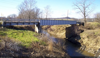
hwy 79 bridge annada mo dec18 2004314 views
|
|
| 278 files on 19 page(s) |
 |
 |
 |
 |
 |
11 |  |
 |
 |
 |
|