| Most viewed - Missouri K-Line |
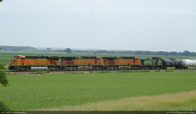
BNSF #7661 approaches Kissinger Hill305 viewsAt this point, the tracks separate from Highway 79 for a few miles to round Kissinger Hill, while Hwy 79 goes over the top.
|
|
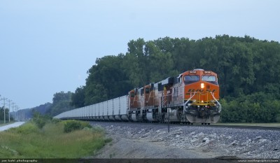
BNSF #5353 ES44DC at Elsberry, MO301 viewsES44DC #5353 idles just south of Elsberry Missouri on the mainline.
|
|
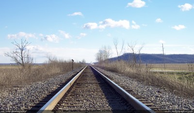
Mainline towards Annada301 viewsView looking south towards Annada.
|
|
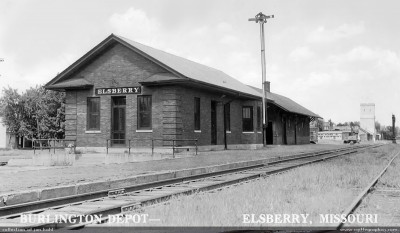
CB&Q depot & freight house, Elsberry - 1940s291 viewsNotice the flatbed farm truck at the right. All of the buildings in this photo are now gone.
|
|
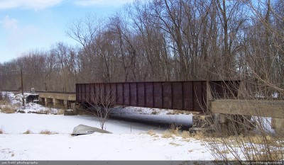
Old CB&Q bridge290 viewsThis old bridge has served the railroad for many years. Once the Zephyr Rocket ran across this bridge on the way north to St. Paul. This bridge is just north of Clarksville, MO.
|
|
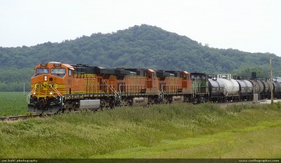
BNSF 7661 ES44DC north of Kissinger Hill289 viewsHere the tracks return back to Hwy 79 and stay that way until they reach Clarksville, about 3 miles to the north.
|
|
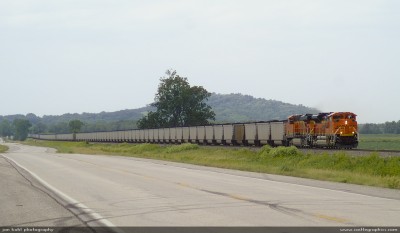
BNSF 9353 SD70ACe approaches Annada288 viewsA long string of coal bound for St. Louis tails BNSF 9353 SD70ACe.
|
|
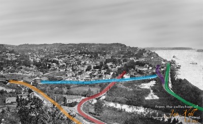
Legend for the trackage in Louisiana, MO286 viewsOrange is the Chicago & Alton mainline to Bowling Green, the swing bridge & interlocking tower would have been to the lower-right of this photo. The C&A mainline is tied to the CB&Q mainline (green) by the transfer track (blue). The purple was called the "city track" for use in dropping off freight for Louisiana. Red is the north-south Highway 79, which was a gravel road at the time. Note the railroad changes over the years, C&A > GM&O > IC > GWWR > KCS, CB&Q > BN > BNSF.
|
|
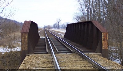
Ex-CB&Q bridge Annada285 viewsThis bridge is just to the south of Annada, MO, very close to the Pike & Lincoln county line.
|
|
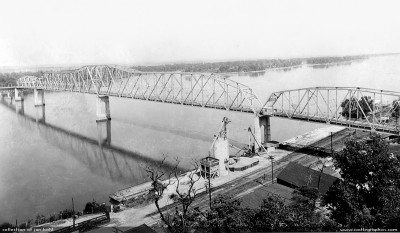
Mark Twain Memorial Bridge285 viewsThis bridge was started in 1934 and this was probably not too long after it was finished in 1936. You can see the gravel hopper & crane still there, and a barge in the Mississippi. This bridge was finally closed in 2000, and dismantled.
|
|
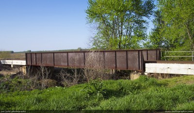
Ex-CB&Q bridge - Annada283 viewsAnother metal bridge just north of Annada, MO
|
|
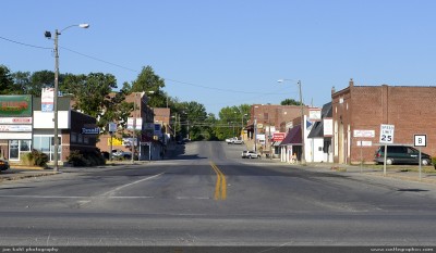
Main street of Elsberry, MO, looking west282 viewsView from where the CB&Q station and freight house sat.
|
|
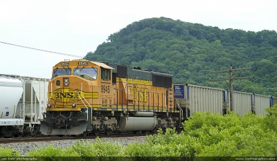
BNSF #8945 SD70MAC in Clarksville280 viewsDPU brings up the rear of the southbound coal drag.
|
|
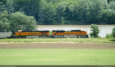
SD70ACe along the Mississippi280 viewsNear Saverton, Missouri, the SD70ACe stretches its legs and pours on the power as it races across the Mississippi bottoms towards St. Louis. Hwy 79 is relatively new in this location, prior to 1955 it was called Hwy T and did not go all the way between Hannibal and Louisiana.
|
|
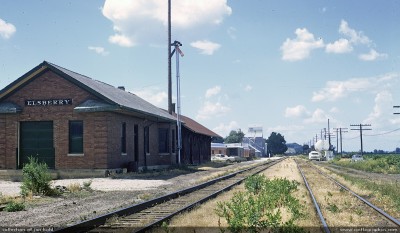
CB&Q depot & freight house, Elsberry - 1970s278 viewsGreat view of the changes over the years, note that the elevator was now under the Missouri Farmers Association.
|
|
| 278 files on 19 page(s) |
 |
 |
 |
 |
 |
12 |  |
 |
 |
 |
|